MINE MONITORING

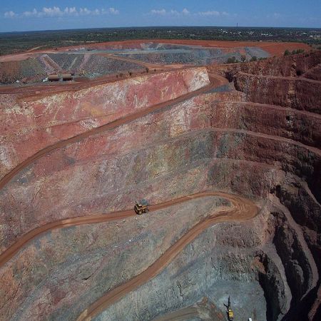
The prototype of this project was developed for an Australian firm. The RADAR/LIDAR scan data is imported and the superimposed with mine topology and satellite imagery. The user is able to monitor the deformation areas and quickly identify unstable areas with heat maps and data overlays.
